Eagle Cliff Trails (Black Hills National Forest)
Grooming
Map location approximate

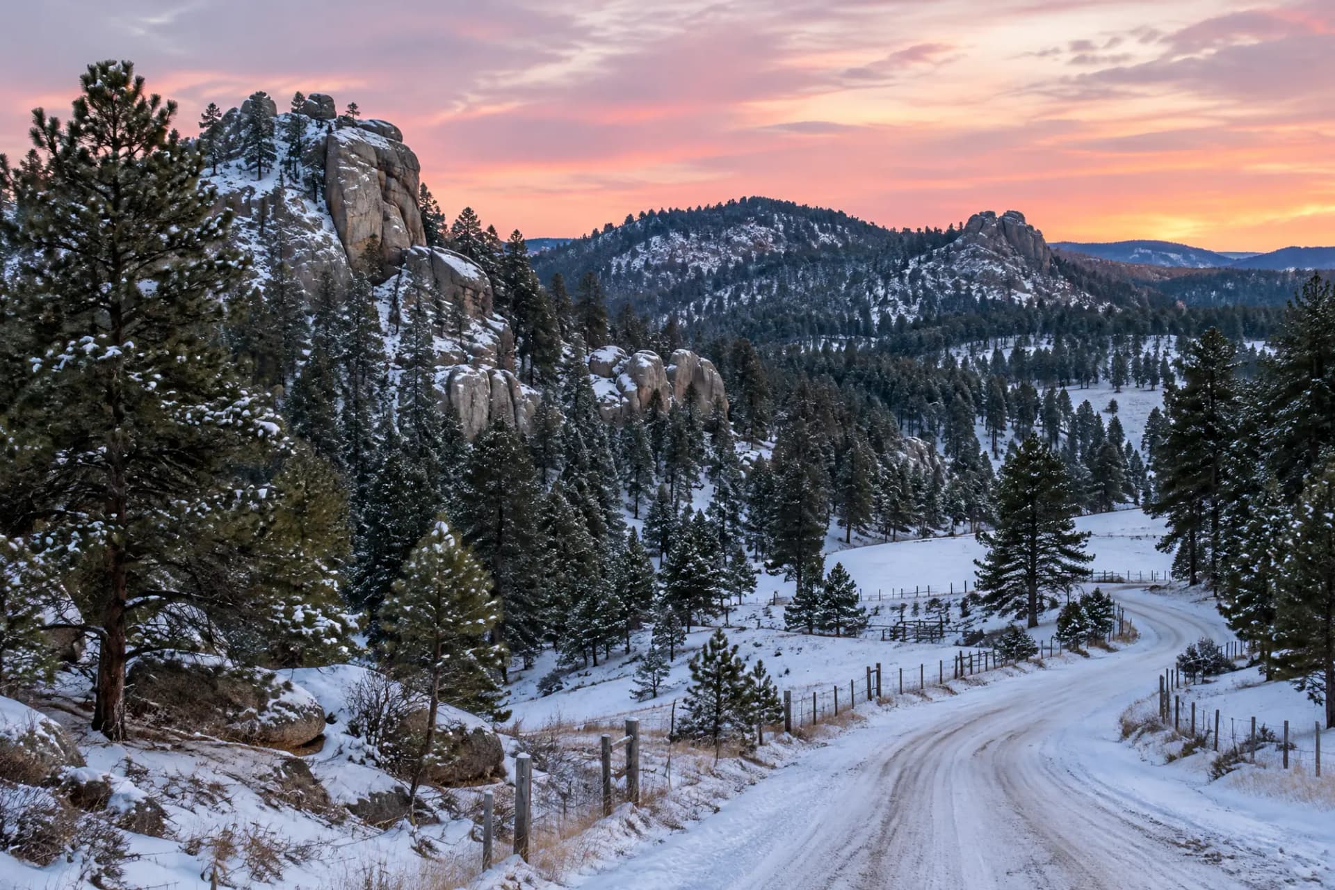
Lead, Lawrence County, South Dakota
Lift-served downhill skiing at a destination resort.
Homes are not matched to Terry Peak Ski Area yet because its map location is approximate. Browse ski homes in South Dakota
Source: en.wikipedia.org.
Skiing here: Downhill skiing, Snowboarding, Uphill / backcountry. Snowboarding is allowed.
Amenities: Lessons, Rentals, Snowmaking, Adaptive program.
National Weather Service forecast near the general location (approximate) (about 6,398 ft), issued recently. Summit weather can differ. Full forecast at weather.gov
Snow report: see the official site for current snowfall, base depth and grooming.
Grooming
Map location approximate
21.9 km of trails
Grooming
Map location approximate
Checked against the operator's or land manager's site. Last checked Oct 29, 2026.
Spot something out of date? Suggest a correction. Operators can claim this profile. Where2Ski is independent of the operator.